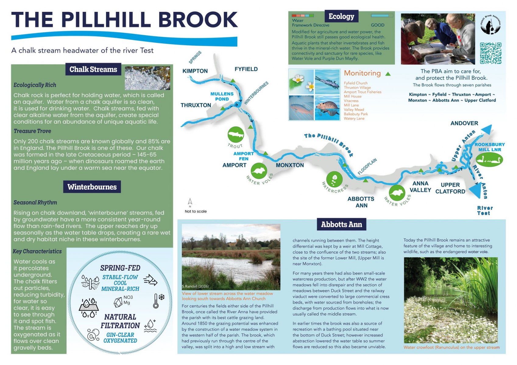
A Chalk stream Headwater of the River Test
For centuries the fields either side of the Pillhill Brook, once called the River Anna have provided the parish with its best cattle grazing land.
Around 1850 the grazing potential was enhanced by the construction of a water meadow system in the western half of the parish. The brook, which had previously run through the centre of the valley, was split into a high and low stream with channels running between them. The height differential was kepi by a weir at Mill Cottage. close to the confluence of the two streams, also the site of the former lower Mill, (Upper Mill is near Monxton).
For many years there had also been small-scale watercress production, but after WW2 the water meadows fell Into disrepair and the section of meadows between Duck Street and the railway viaduct were converted to large commercial cress beds, with water sourced from boreholes, the discharge from production flows into what is now usually called the middle stream.
In earlier times the brook was also a source of recreation with a bathing pool situated near the bottom of Duck Street; however increased abstraction lowered the water table so summer flows are reduced so this also became unviable.
Click the image below to go to the Photo Gallery to view a full size picture